Bring GIS To Your Organization
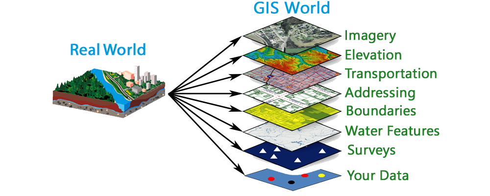
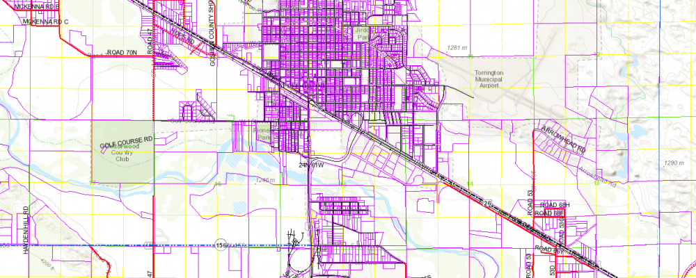
Geographic Innovations provides consulting, analysis, and set-up of Geographic Information Systems. We also provide maintenance for GIS data, creation of digital and paper maps, and development of customized training manuals and programs. Years of education and experience in the GIS industry makes Geographic Innovations the premier choice for all your GIS needs.
Tax Assessment and Equalization
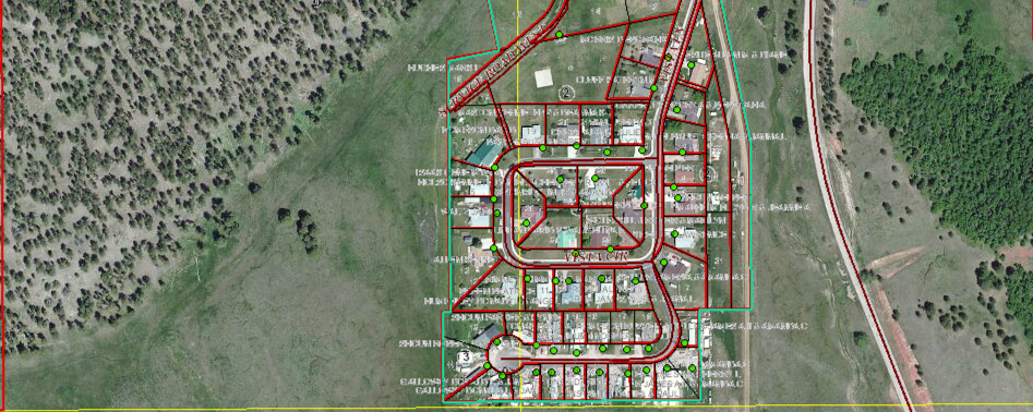
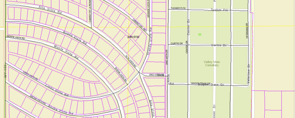
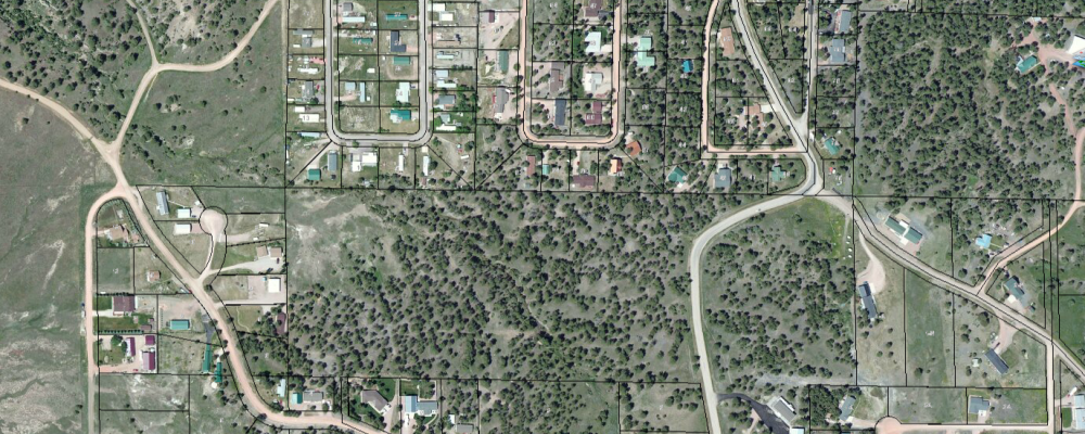
Digitize your tax maps with aerial photo/topographic backdrops, analyze potential tax revenues, and create location based mailing lists.
Homeland Security and Emergency Management
Analyze the potential effect of disasters for mitigation planning, identify rural response areas, and create custom maps for emergency services.
Economic Development
Create zoning maps, analyze the effects of business placement, and see resource demands.
Real Estate
Create detailed, custom property maps with location information for area schools, shopping centers, and more.
Infrastructure Management
Inventory roads, bridges, sidewalks, utilities, and more. Digitize your maintenance records. Analyze and schedule maintenance and expansion
Law Enforcement
Inventory and map the location of police stations, patrol locations, crime, and more. Create random patrol routing.
Land Use Planning
Create inventories of zoning areas, flood plains, parks, open space, and more. Evaluate the impact of structure placement for cell phone towers, industrial facilities, and more.
Custom Training
Schedule training the meet your organization's GIS and GPS needs.

